


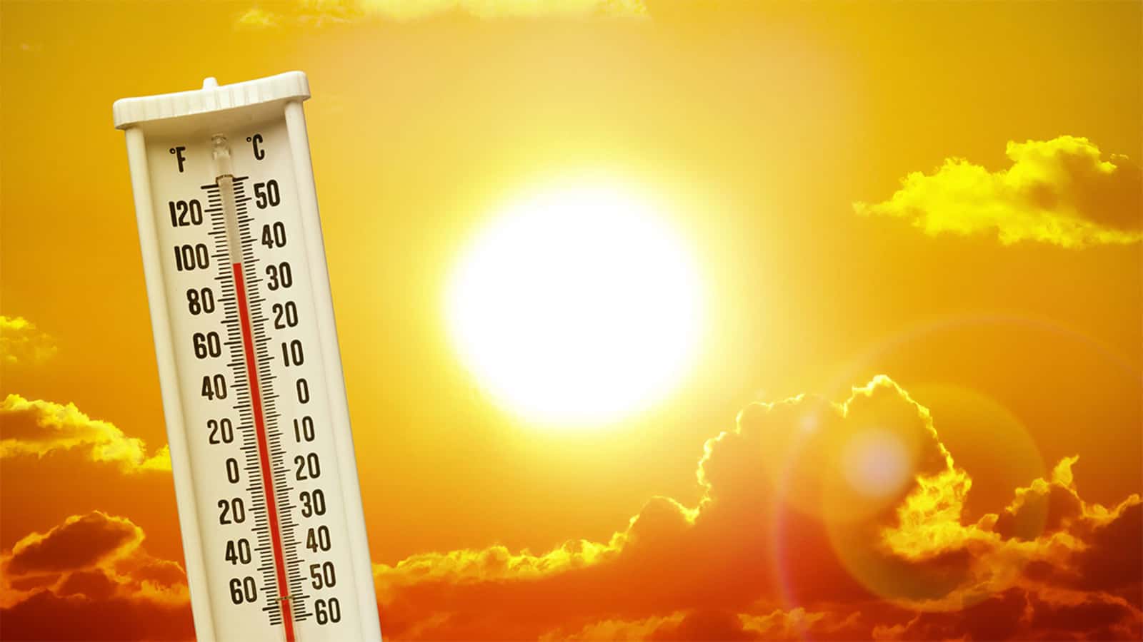

ROCHESTER, NY (WROC) – A heat wave is designated at three 90° days in a row and Rochester already has that with July 5, 6, and 7 cresting that number. Below is the almanac for July 7.

The extended forecast shows Rochester hitting 90° through Friday July 10, which would put the total at six days in a row at or above 90°. The last time we had this stretch was six days in early July 2018. Before that it was five days in August 2016. To get to the next stretch of five or more days at 90° or warmer you need to go back to July 1993.
Six days in a row with 90+ would be impressive for Rochester. Here's a look back at our longest stretches of 90° days back to 1926, the longest being a NINE day run in late August and early September of 1973! Per ACIS/NOAA Regional Climate Centers. #ROC #heatfacts pic.twitter.com/dIY02subg7
— Josh Nichols (@wnywxguy) July 7, 2020
Here are a few other stats from Meteorologist Josh Nichols:
1) Historically (weather records date back to the 1870s), the hottest period in Rochester is July 3 through July 21.
2) The highest temperature in Rochester weather history remains what was recorded during the “Dust Bowl” of the 1930s. 102° on BOTH July 9, and July 10 of 1936 to be precise. (Note that nearly half the nation’s all time state high temperatures occurred during the 1930s)
3) Per the NOAA Regional Climate Analysis page (http://scacis.rcc-acis.org/), a high temperature of 100° has only been achieved 4 times since 1926.
4) Other records prior to this (taken at varying locales through the city prior to the airport location) show that our highest temperature of 102° was also registered on the following previous dates
July 16, 1845
July 17, 1856

While no single heat wave can be directly tied to climate change, anthropogenic global warming certainly plays a role. As we continue to burn fossil fuels, more greenhouse gases are emitted and that warms the atmosphere. One of the many feedback loops from increased greenhouse gases is warmer summer days. That has been seen in the last decade in Rochester and many other places around the globe.