


ROCHESTER, NY (WR0C) – Rochester on average will see its first flakes on October 23, so if you look at it from that standpoint, the region is due. The average first tenth of an inch of snow is November 8, something that might just verify if the cold air and precipitation line up just right.

AS OF TUESDAY EVENING – The forecast remains consistent from earlier model runs to the current runs. We still expect novelty flakes across Rochester and some accumulation south of the Thruway.
AS OF TUESDAY MORNING – Rochester will look to see a scraping from two colliding systems Thursday night into Friday. First there is a massive mid-latitude cyclone that has brought brutal cold air and snow across much of the upper-midwest and as far south as the panhandle of Texas. This is slowly churning eastward and will combine with Hurricane Zeta Wednesday and Thursday. The entire storm structure will move into the Mid-Atlantic as the northern edge scrapes across Pennsylvania and Western New York.

TIMING:
Thursday: Rain will move into Western New York along the northern edge of this large and elongated low Thursday afternoon and evening. Rain showers continue through the overnight as temperatures fall into the 40s and eventually the 30s. That temperature transition is thanks to high pressure slowly stretching into eastern Canada.
Thursday night: As the cold descends south across Western New York, rain showers will transition to a rain/snow mix at lower elevations and over to a wet snow at higher elevations across the Bristol Hills and Eastern Finger Lakes.
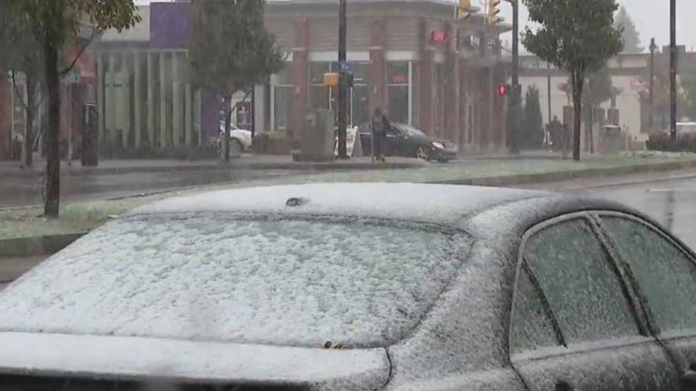
Friday morning: There will be plenty of moisture that will amount to the potential for a few inches (~0-2″) accumulation for those higher elevations south of the Thruway. While Rochester will likely see flakes fly, anything measurable will likely be less than an inch. The ground will not have much time to stay below freezing to sustain any type of accumulation.
Higher elevations, around 2,000 feet, will likely see a drop in temperatures much closer or even below freezing to allow for accumulation.
Friday afternoon: The storm system quickly moves out of the region, but temperatures remain in the 30s Friday with a strong north wind. Wind chills will be in the 20s at times. Any snow that accumulates will not stick around for long.

Model output above is from the 8am Tuesday model runs. The RPM model does not go out to Friday afternoon.
Get your daily updated forecast here.